Hi,
Does anybody know if measurements can be exported from Geomagic Design X? Or is there some workaround to do the same thing?
Hi,
Does anybody know if measurements can be exported from Geomagic Design X? Or is there some workaround to do the same thing?
To be more clear, do you want to export the measurements that marked/shown in stl that you have measured?
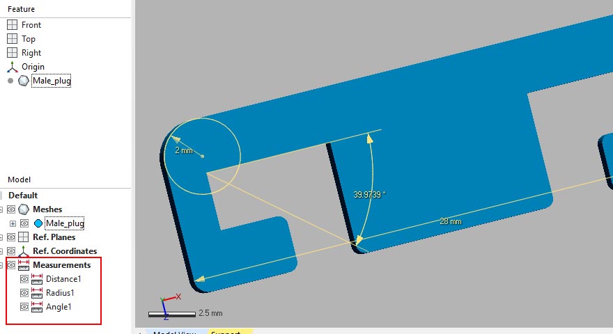
In Design X there is no option/feature to export the measurements, that we measured like in below shown. If you can bit elaborate, what's your purpose? then we can understand the requirement.

Yes, those are the measurements I am talking about.
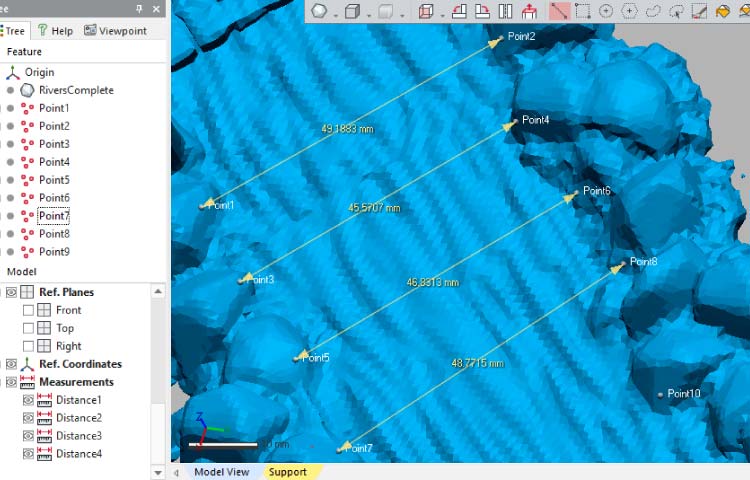
I have irregular shaped ridges traced from a scan. I measured the distances between them and would like to get the measurements in table form and do some stats on them elsewhere. The location of the measurements is not important, just the numbers.
Yes, those are the measurements I am talking about.
I have irregular shaped ridges traced from a scan. I measured the distances between them and would like to get the measurements in table form and do some stats on them elsewhere. The location of the measurements is not important, just the numbers.
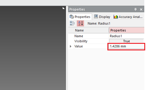
Only possible shortcut, that I see, is to copy the individual measurement value
Select the measurement to copy

Then, the right side " Properties" tab appear and there select the dimension value and Ctrl + C to copy the value

Then you have ability to copy/paste each individual dimension values of measurements to whatever documents

Right, that's what I have been doing, but then it seems that it would just be better to do the measurements in other software if they have to be bulk-processed.
Right, that's what I have been doing, but then it seems that it would just be better to do the measurements in other software if they have to be bulk-processed.
Ok, if you have bulk measurement data and which are distance gaps. Follow this steps.
Step 01 - First mark the end point on stl/mesh that use for measurements

Step 02 - Export the point data as .CSV file which is more compatible with any spreadsheet.
Step 03 - You can use the .csv export locational X, Y & Z point values to do simple math calculation. And find the direct gap between Point 01 - Point 02,,and so on,

You can compare the measured values and calculated point gaps. Hope this will help for your requirement.
Thank you, that's so simple but quite ingenuous! But what about angle measurements?
Thank you, that's so simple but quite ingenuous! But what about angle measurements?
You can use same points export XYZ locational data to calculate Radius & Angle.
Radius/or diameter can be represent as two points gap,
Angle can be calculated as two lines angles that, represent the two lines gap either three points or four points. Only this time the math equation bit get lengthy/advance.
Thank you so much! This was extremely helpful.


